


Mesoscale Discussion
SPC MD 1527
MD 1527 CONCERNING SEVERE POTENTIAL...WATCH UNLIKELY FOR PORTIONS OF CENTRAL/SOUTHWEST OKLAHOMA INTO NORTHWEST TEXAS

Mesoscale Discussion 1527
NWS Storm Prediction Center Norman OK
0401 PM CDT Mon Jun 30 2025
Areas affected...portions of central/southwest Oklahoma into
northwest Texas
Concerning...Severe potential...Watch unlikely
Valid 302101Z - 302230Z
Probability of Watch Issuance...20 percent
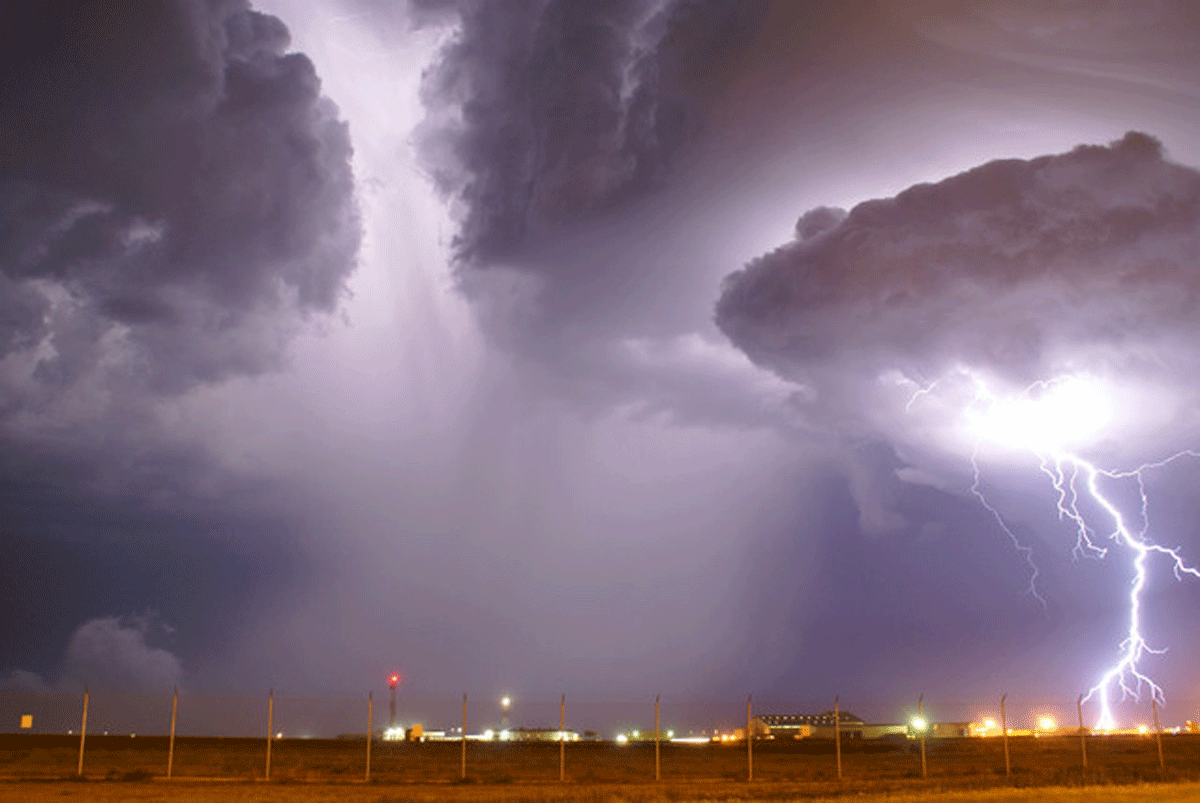
SUMMARY...Scattered storms expected in the next 1-2 hours, with a
risk for at least isolated damaging winds/severe hail. Watch
issuance not anticipated but conditions will be monitored.
DISCUSSION...Visible satellite shows a zone of rapidly developing
convection along a residual outflow boundary across
central/southwest Oklahoma. Additional convection is now deepening
across parts of northwest Texas. Rich low-level moisture (70s+ Tds)
and surface temperatures into the low 90s are contributing to a very
unstable environment south of the boundary, characterized by MLCAPE
values exceeding 3000 J/kg. The expectation is for scattered storms
to develop along this corridor in the next 1-2 hours, posing a risk
for at least isolated damaging wind gusts and severe hail. At this
time, watch issuance is not anticipated though convective trends
will be closely monitored should a watch be needed.
..Karstens/Hart.. 06/30/2025
...Please see www.spc.noaa.gov for graphic product...
ATTN...WFO...TSA...FWD...OUN...SJT...LUB...
LAT...LON 35009602 34469706 33869797 33009923 32890003 33490052
34599918 35419803 35819668 35659595 35009602
MOST PROBABLE PEAK WIND GUST...55-70 MPH
MOST PROBABLE PEAK HAIL SIZE...UP TO 1.25 IN
Read more
SPC MD 1526
MD 1526 CONCERNING SEVERE POTENTIAL...WATCH UNLIKELY FOR PORTIONS OF CENTRAL/SOUTHERN NEW MEXICO

Mesoscale Discussion 1526
NWS Storm Prediction Center Norman OK
0303 PM CDT Mon Jun 30 2025

Areas affected...portions of central/southern New Mexico

Concerning...Severe potential...Watch unlikely

Valid 302003Z - 302200Z

Probability of Watch Issuance...20 percent

SUMMARY...Isolated severe wind gusts possible this
afternoon/evening.

DISCUSSION...Regional satellite/radar shows a few areas of robust,
terrain-driven convection, mainly across central/northern portions
of New Mexico with some merging of convection beginning to occur.
These storms initiated amid strong morning insolation and sufficient
boundary layer moisture for destabilization, characterized by dew
point temperatures in the upper 40s and lower 50s F. These
conditions have led to MLCAPE values near 1000 J/kg and strong
low-level lapse rates, exceeding 8-9 C in most areas. Storms are
expected to continue merging and gradually move off the high terrain
and drift south with time. Isolated severe wind gusts will be
possible with this activity through the remainder of the afternoon
into the early evening.

..Karstens/Hart.. 06/30/2025

...Please see www.spc.noaa.gov for graphic product...

ATTN...WFO...ABQ...EPZ...

LAT...LON   33160872 33580892 34060861 34920790 35670636 35630556
            34570533 33000560 32580595 32390702 32730821 33160872

MOST PROBABLE PEAK WIND GUST...55-70 MPH
Read more