[Enable JavaScript for live updates]
Updated
:
03-Feb-2017 6:21pm
Temperature:
30.2°F
-2.63
/hr
Humidity:
42
%
Dew Point:
10.1°F
Wind:
SSE
0.0 mph
Gust:
0.0 mph
Barometer:
30.50 inHg
Steady
Rain Today:
0.00 in
UV Index:
0.0
None
NAVIGATION
Home
Forecast
National Alerts
Local Alerts
Local Radar
Weather Cast
BLOGS
Gary Lezak's Blog
Fox 4 Blog
MAPS
Forecast Tools
Map Room
Climate Predictions
NOAA
NOAA Support Page
GEOLOGY
Tropics
UV Forecast
Astronomy
River Heights
Earthquake Activity
Volcano Activity
MISC.
Mesonet
Mesoscale
Weather Logos
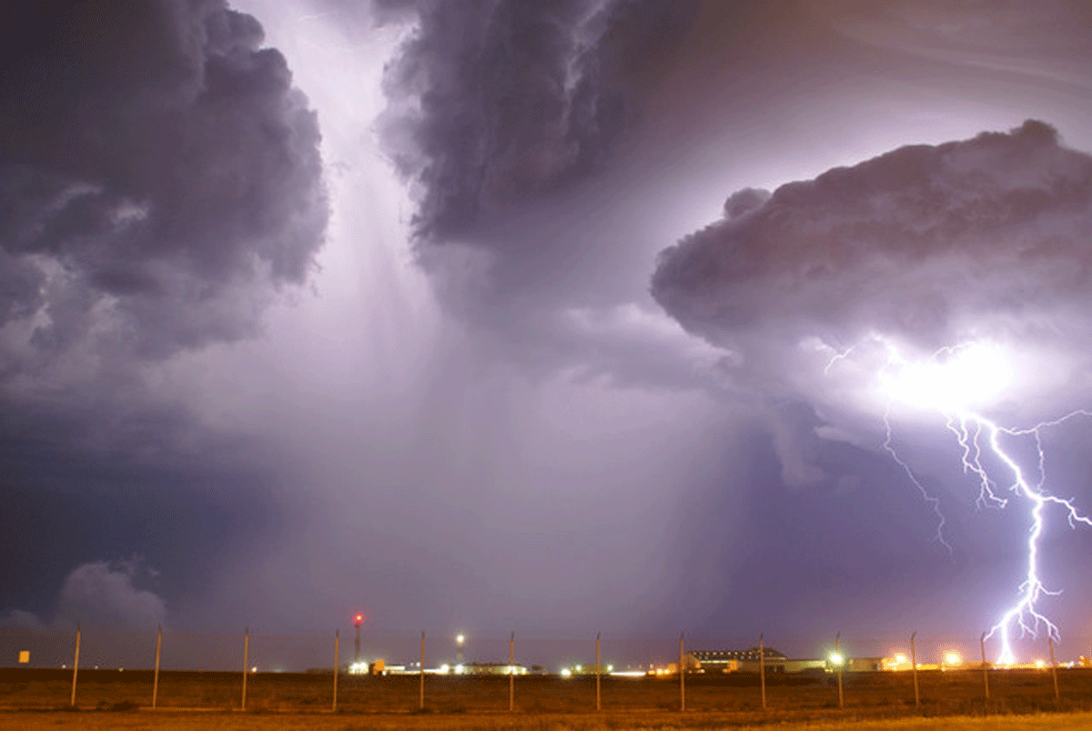
Image of the Day
World Extremes
Daily Facts
Graphs
Links
About Us
NOAA RADIO
U.S. EXTREMES